


Into the eye of the storm
I’ve wondered about what it must be like to fly the hurricane hunter missions that travel through (or above? I’m not clear on that) the eye wall of a hurricane to do critical measurements for the purpose of forecasting.
Here’s a little glimpse of that:
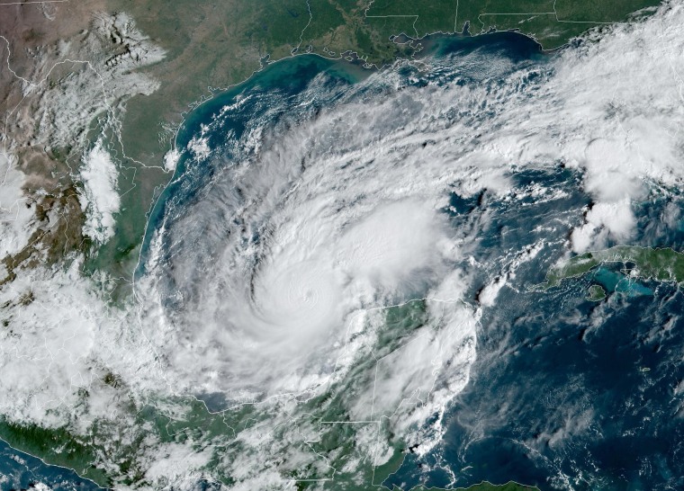
Milton has once again strengthened into a Category 5 of storm, and continues to track toward a landfall around the southern edge of Tampa Bay. According to my hurricane guru friend Steve, whether the final track ends up being 20 miles to the north or south could be the difference between a “normal” ten billion dollar disaster, and a $200 billion apocalypse. In any event, between the storm surge and the wind — apparently it’s likely to still be an 130 mph or so storm at landfall — anybody anywhere in the general vicinity who can get out should do so.